
Real Projects. Proven Results.
Across the world, GEO.works helps public agencies, utilities, and contractors modernise how they manage right-of-way activities.
From large-scale infrastructure projects to local council digitisation initiatives, our platform has delivered measurable improvements in coordination, compliance, and efficiency.
Below are examples of how GEO.works has supported clients in streamlining permitting, utility coordination, and data management — helping them reduce administrative overhead and deliver smarter, safer infrastructure.

Client Project Summary: Los Angeles World Airports (LAX)
Los Angeles World Airports launched a $15 billion modernization program to upgrade terminals, expand capacity, and improve safety. The $5.5 billion Landside Access Modernization Program (LAMP) included new intermodal transport hubs, a consolidated car rental facility, and an automated people mover system. A Design/Build contracting model was used to accelerate delivery. Project managers aimed to minimize utility-related risks during preliminary design and before Best and Final Offers. Comprehensive Subsurface Utility Engineering (SUE) studies and BIM development were implemented to manage underground infrastructure. GEO.works was used to store and manage all 3D utility data. Its advanced Merge Tool allowed users to compare, validate, and integrate utility records from multiple sources. Engineers could drag and drop verified attributes to create the most accurate utility representation. This process produced a single, reliable utility dataset, reducing design conflicts and supporting safer, more efficient construction.

Client Project Summary: City of Milan
The City of Milan, employing over 15,000 staff across multiple departments, sought to modernize its permitting system to improve coordination, transparency, and efficiency. GEO.works was implemented to replace paper-based processes with a fully digital, GIS-driven solution. The system manages more than 8,000 utility permits annually, including 6,500 automated small permits, cutting tax control durations from ten months to one. It introduced new permit types for maintenance operations, increasing overall volume by 23%. GEO.works also streamlined EV charging station permits, coordinating over 30 stakeholders through an automated Service Committee process. For public events, it enabled faster approvals under 30 days, integrating all sub-permits and departments. During the 2020 pandemic, GEO.works configured and deployed an outdoor dining permit procedure in just two weeks—enabling the city to approve 3,000 new permits in June 2020 alone.

Client Project Summary: Honolulu Authority for Rapid Transportation (HART)
The Honolulu Authority for Rapid Transportation (HART) is constructing a 20-mile fully automated, elevated light metro rail system connecting major employment centers, tourist destinations, and residential communities across Oahu. The project includes 21 stations and serves as one of Hawaii’s largest infrastructure initiatives. Utilities posed a major risk, especially in dense urban corridors where potential conflicts with vertical structures were difficult to predict. To mitigate these risks, designers of the Kamehameha Highway Segment conducted extensive Subsurface Utility Engineering (SUE) investigations. GEO.works was used to import, manage, and integrate utility data collected in the field. The platform’s 3D modeling and CAD export capabilities enabled engineers to visualize underground conditions and identify conflicts early. The resulting utility model provided HART and contractors with a clear, reliable view of subsurface assets, reducing design risks and improving construction efficiency.
Client Project Summary: Montana Department of Transportation (MDT)
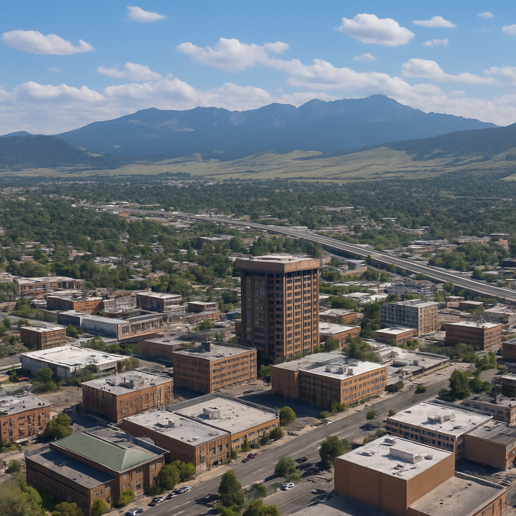
Montana, the fourth-largest U.S. state with nearly 150,000 square miles and 1.1 million residents, faced inefficiencies managing paper-based utility permits across its vast highway network. Retrieving records was slow and prone to loss, prompting the Montana Department of Transportation (MDT) to pursue a digital transformation. In 2018, MDT selected GEO.works as its statewide utility permitting and as-built data platform. The system allows applicants to draw proposed alignments or upload shapefiles using an interactive map interface. GEO.works automatically analyzes applications against MDT’s GIS layers to capture coordinates, route details, and environmental sensitivities. Applicants complete screening questions and enter utility attributes such as type, size, and material. GEO.works automates routing, applies business rules, and tracks review progress through shot clocks and dashboards. The result is faster, paperless permit processing, reduced staff workload, and full digital traceability of all utility installations.

Client Project Summary: Texas Department of Transportation (TxDOT)
Texas, the second-largest U.S. state with nearly 270,000 square miles and 30 million residents, depends heavily on efficient transportation infrastructure. The Texas Department of Transportation (TxDOT), operating through 25 District offices, has long embraced technology to improve service delivery. Its first electronic permitting system, UIR, launched in 2006 but eventually fell short of statewide requirements. In 2018, TxDOT selected GEO.works to replace its legacy system and establish a centralized utility as-built repository. The project scope included standardizing workflows across all 25 Districts, integrating Broadband and 5G/small cell permitting, and automating end-to-end business processes. GEO.works also provided GIS integration, legacy data migration, and staff training. Live since July 24, 2023, the system delivers a unified digital workflow modeled after Montana DOT’s success, enhancing consistency, efficiency, and transparency statewide.
Client Project Summary: Puget Sound Energy – Lacey Washington
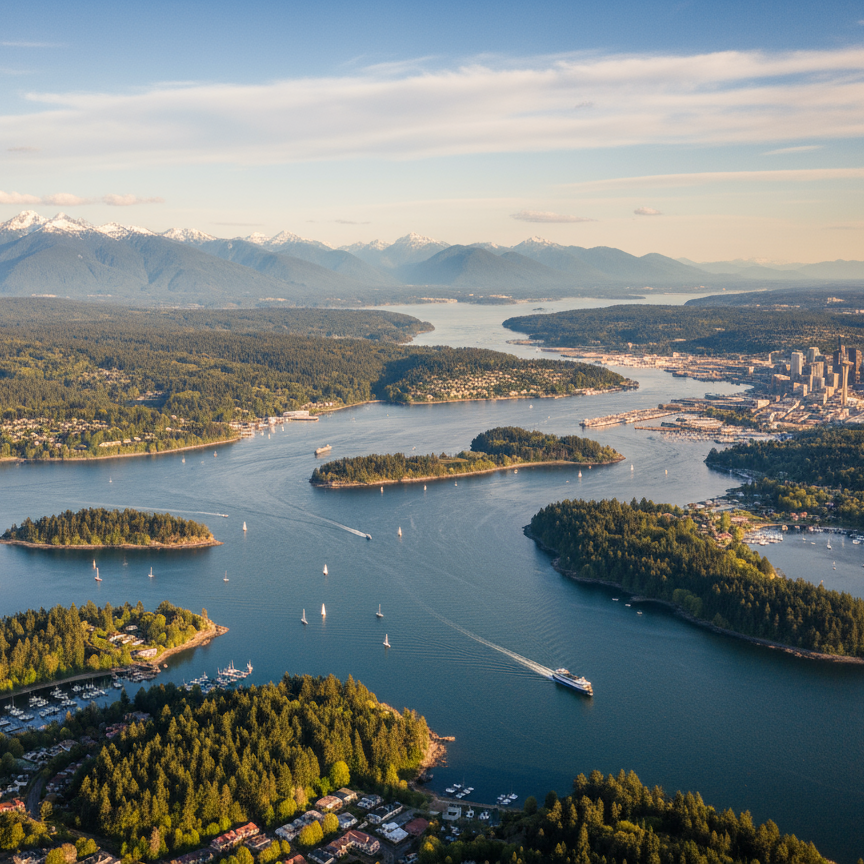
Puget Sound Energy (PSE) undertook a major project to install a new high-pressure gas line along a state highway in Lacey, Washington. The state initially required placement at the edge of the right-of-way with no lane closures, but investigations revealed extreme congestion of existing utilities, making this approach impractical and costly. Despite repeated discussions, the state initially denied design modifications. To resolve the issue, PSE used GEO.works to import Subsurface Utility Engineering (SUE) data and build a detailed 3D model in AutoDesk Civil 3D, with simulations in NAVISworks. The model clearly demonstrated conflicts and risks, convincing the state to approve an alternative alignment allowing limited night work over six weeks. Designers used the 3D model to adjust the gas line’s elevation, avoiding existing utilities and drainage. As a result, bids came in below estimates, construction progressed twice as fast as expected, and project duration was reduced by half.