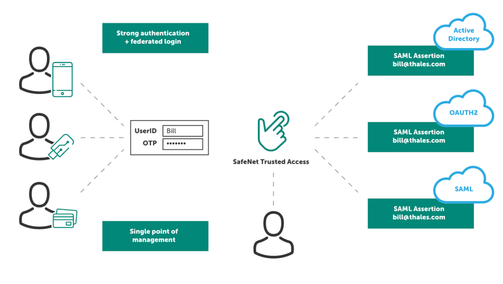
Systems currently interfaced with GEO.works (commercial and agency developed)
Active Directory
OAUTH2
SAML
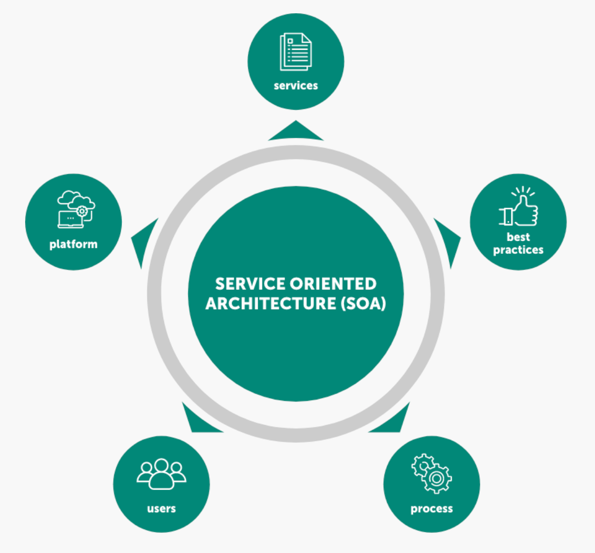
Interoperable Geographic (GIS) features (Service-Oriented Architecture)
- Aerial Photos
- Roads (Name & address; Route and milepost; Google Street View)
- Political and agency boundaries
- Environmental & cultural resources
GEO.works is built on a service-oriented architecture (SOA) that enables local authorities to connect, share, and manage geographic data seamlessly across departments and systems.
By integrating data sources such as Street Manager, EToN, and internal council GIS, the platform provides a single, interoperable view of every street and highway activity.
Through this architecture, councils can visualise live utility works, environmental zones, and asset boundaries on one shared map — ensuring that every permit, inspection, and update is informed by the most accurate, up-to-date information available.
This approach reduces duplication, prevents conflicts between teams and contractors, and supports cross-agency coordination with utilities, transport bodies, and regional partners.
The result is a future-ready foundation for digital permitting and streetworks management — one that helps councils improve efficiency, minimise disruption, and make data-driven decisions with full audit traceability.
Data Standards
ASCE 38-22 Standards Guideline for Investigating and Documenting Existing Utilities
ASCE 75-22 Standard Guideline for Recording and Exchanging Utility Infrastructure Data
CAD & BIM
- GEO.works is compatible with open national and international standards.
- Structured to create fully attributed 3D virtual utility models within the database.
- Existing utilities and installation designs can be stored.
- Data are available for export and creation of 3D CAD models and BIM.
- GEO.works is compatible with BIM and BIM for Infrastructure standards.
- GEO.works successfully created integrated 3D utility models in CAD and BIM on several high-profile transportation projects.